Geology & Topography
Geology
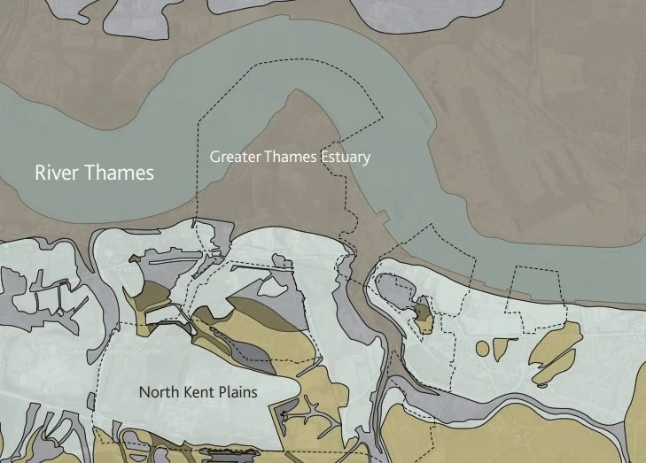
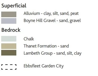
Ebbsfleet Garden City is located within two distinct geological zones: the Greater Thames Estuary alluvial clay and the North Kent Plains chalk. Over time the land has been formed by water (e.g. process of erosion and deposition) and human interaction (e.g. the chalk quarries). In a number of places, the chalk bedrock has been exposed and forms a distinctive characteristic of the existing landscape. Additionally, the soil properties and underlying geology are known to effect the infiltration levels of surface water and will have an impact on sustainable urban drainage systems (SuDS).
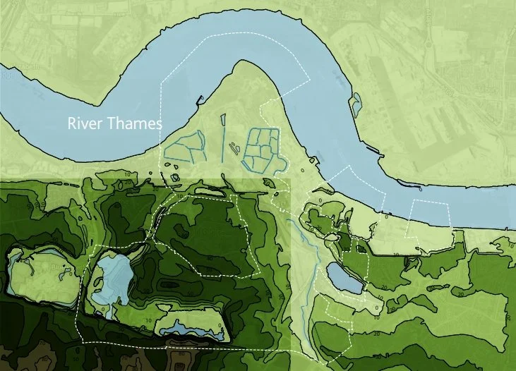
Topography
Ebbsfleet Garden City’s topography is characterised by the Ebbsfleet River Valley, the low lying areas along the Thames River bank, and the area’s history of quarry activities. These distinctive topographic features have shaped the Garden City’s hydrology and need to be studied in relationship to proposed sustainable urban drainage systems and planting strategies. Additionally the site’s topography provides opportunities for distinctive viewing points (e.g. from the former landfill in Ebbsfleet Central) and it will need to be used to identify appropriate infrastructural connection points across the Garden City.