Learning from Local Buildings
Click on a local building type to find out more >
Historic Ridge Silhouette Buildings
Historic Ridge Silhouette Buildings
Across the Ebbsfleet area are numerous examples of historic marker buildings, forming a distinctive silhouette along the riverside landscape between Dartford and Gravesend.
1588 map of Thames defenses - extract. Robert Adams (architect) (1540–1595)
The map of 1588 (above) locates Thames defences . Windmill Hill in Gravesend and Northfleet Hill can be seen with buildings of strategic importance; possibly used as defensive look-outs and beacons.
Windmill Hill was originally the site of a beacon in 1377, which was instituted by King Richard II, and still in use 200 years later at the time of the Spanish Armada. The hill offers extensive views across the Thames and became a popular spot for Victorian visitors to the town with the installation of a camera obscura.
Rosherville Gardens, a Victorian pleasure garden that was located at Northfleet, contained a lookout tower, (image below.)
Rosherville Gardens
Mill Hill Gravesend
Greenhithe tower
Greenhithe tower
Villas - site of Rosherville Pleasure gardens
Civic & Institutional Buildings
Manor Farm, Cliffe © Crown copyright and Landmark Information Group Limited 2018. All rights reserved.
Huggins College © Crown copyright and Landmark Information Group Limited 2018. All rights reserved.
There are key examples of defined building clusters (past and present) which offer strong precedents for the form of civic or institutional buildings within the future development of Ebbsfleet Garden City. Historically the strong form of these building groups created a sense of enclosure and protection within a wild and uncontrolled landscape.
At Huggins College the building presents a strong geometrical terraced facade, defined by repetitive gables and chimneys facing out onto the landscape. While Tilbury barracks is an elegant terrace facing onto the parade ground.
The farmstead cluster located outside the historic centre of Cliffe, is located within an open landscape. The configuration of the manor farm and attached / adjacent agricultural buildings helps create a defined grouping on the crest of the high ground around Cliffe.
Tilbury Fort Barracks - flat fronted long regular terrace onto the parade
Farmstead outside Cliffe - mixture of strong roof forms. Frontages address the surrounding open land and the cluster forms a strong enclosure on the Cliffe high-ground
Huggins College - outside Northfleet now demolished
Huggins College - regular terraces of gables distinctive silhouette and distinctive feature chimneys
Farmsteads
1872 Map Swanscombe © Crown copyright and Landmark Information Group Limited 2018. All rights reserved.
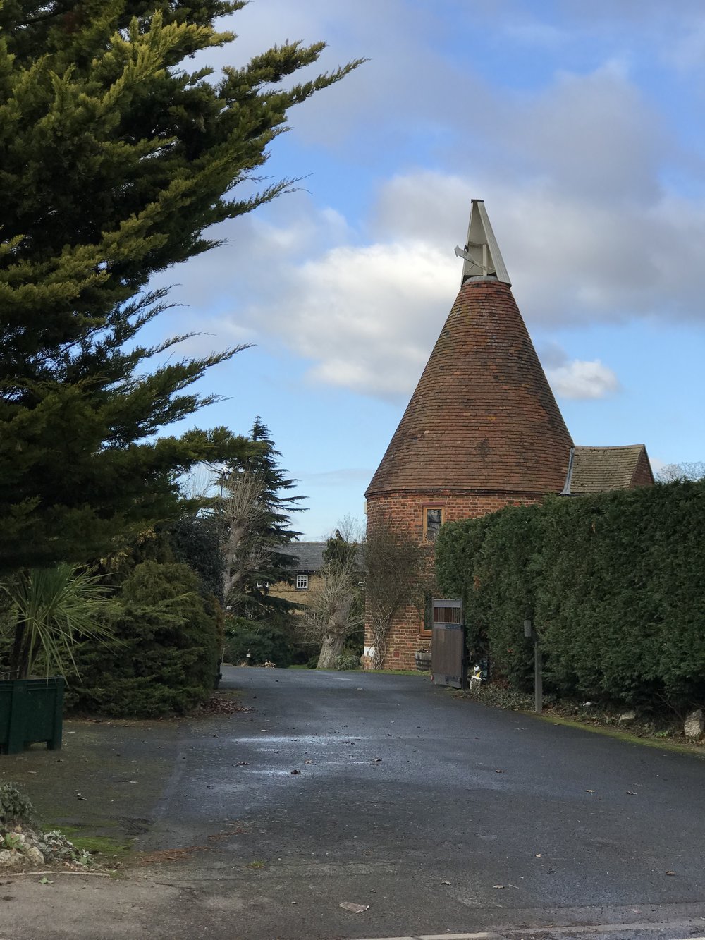
The map above shows that Western Cross, Alkerden and Knockholt were the locations of historic farmsteads with adjacent hop fields and hop kilns. These building typologies present interesting precedents for the structured enclosure of space in future developments.
Farmstead Farningham - forming the edge to the High Street
Farmstead Farningham - long linear form aligned with the village contours. White boarding to the courtyard
Hop kiln / oast house, Southfleet - a key townscape marker
Farmstead outside Southfleet
Farmstead outside Southfleet


