
Learning from Defined Settlements
Click on the local settlement to find out more >
Watling Street & Roman defined settlements
Watling Street & Roman Defined Settlements
Ebbsfleet sits at a fording point on the Roman road of Watling Street, which connected Chester with London and then ran onto Canterbury and Dover. A Roman settlement grew-up around this fording point which was known as Vagniacae (the name signifies marshy ground), at what today is known as Springhead, the source of the River Ebbsfleet. The Fleet (Ebbsfleet) river strategically linked Vagniacae with the river Thames at Northfleet, and Northfleet was also the site of a Roman Villa.
Vagniacae surrounded a pool formed from eight natural springs. The site had a large number of temples, together with various buildings used for trade. A substantial ditch defined an exclusion zone around the settlement and a ceremonial way most probably led to the springs.
Rochester was strategically placed at the lowest point on the Medway to bridge Watling Street. This was significant to Rochester’s development and function up to and including the arrival of the railway and commercial shipping.
The general plan of Roman Rochester follows that of many large Roman towns; comprising two principal streets crossing at right angles to each other and exiting through gates on the four main sides of the city’s defensive circuit.

A typical Roman settlement

Rochester - Roman Durobrivae

A contained & Roman Watling Street & associated settlements

The Roman settlement of Springhead

Roman marble found at Springhead
Gravesend- Historic Town of Fine Grain Streets
Gravesend lies immediately to the north of Watling Street. Its geographical situation has given Gravesend strategic importance throughout the maritime and communications history of South East England.
The location of Gravesend is at a point where the lowest slope of the North Downs reaches the river bank. To the east are the low-lying Shorne Marshes; to the west, beyond Northfleet, the Swanscombe Marshes. The settlement established because it was a good landing place and sheltered by the prominent height of Windmill Hill. The Domesday Book recorded mills, hithes, and fisheries here.

Gravesend 1860 ©Crown copyright and Landmark Information Group Limited 2018. All rights reserved.
Through observations of the morphology of this historic waterfront settlement, what is particularly noticeable is the orthogonal form of the original town. Historic maps of Gravesend (above), show a strong defined ‘square’ of development on the river frontage, bounded by Darnley Road to the west, Wellington Street and Milton Lane to the east and Trafalgar Road to the south.
The streets within this orthogonal built form, are fine grained. The pedestrianised high street is 3-4 storeys high with a width of around 7m with close grain shop fronts with apartments above providing a sense of enclosure and encouraging community engagement. Harman Street in contrast is more formal with uniform frontages, a clock tower and is slightly wider at around 13m. Both streets end with a pier.


Formal designs for Gravesend show the plans for the town to be laid out in a Georgian style, with a grad pier terminating the town's main axis.

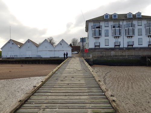
The High Street in Gravesend

Northern end of High Street, looking onto the Pier in Gravesend Town Centre.

Harmer Street - with continuous painted articulation line giving a strong horizontal expression to the street

High Street - horizontal boarding

High Street - 3 storeys plus attic storey - mixed used ground level

Alley way from the High Street
Commercial Place - gable and bay profile

Red brick and pale bath stone

Warehouse - storeys high-lighted with continuous stone articulation

Black plinth
Ingress Park & Bluewater
A number of other examples both contemporary and historic provide further precedents of the use of strong geometry in the layout of settlements within the riverside area.
Ingress Park is a local historic example of a defined settlement. An early engraving of the home of Jonathan Smith (above), shows a structured landscape of long tree lined avenues, orchards and walled gardens with a backdrop of chalk cliff to the ‘high ground’. This defined orthogonal form within the wild marshland setting, offers an intriguing precedent for future developments.
The Ingress Estate was a seat (manor) in the hamlet of Greenhithe. In 1363 the manor was endowed upon the Prioress and Abbey of the Dominican Sisters in Dartford by Edward III (1307–1377) until the Dissolution of the Monasteries under King Henry VIII of England. The current Tudor-gothic-style mansion, Ingress Abbey, was constructed in 1833.
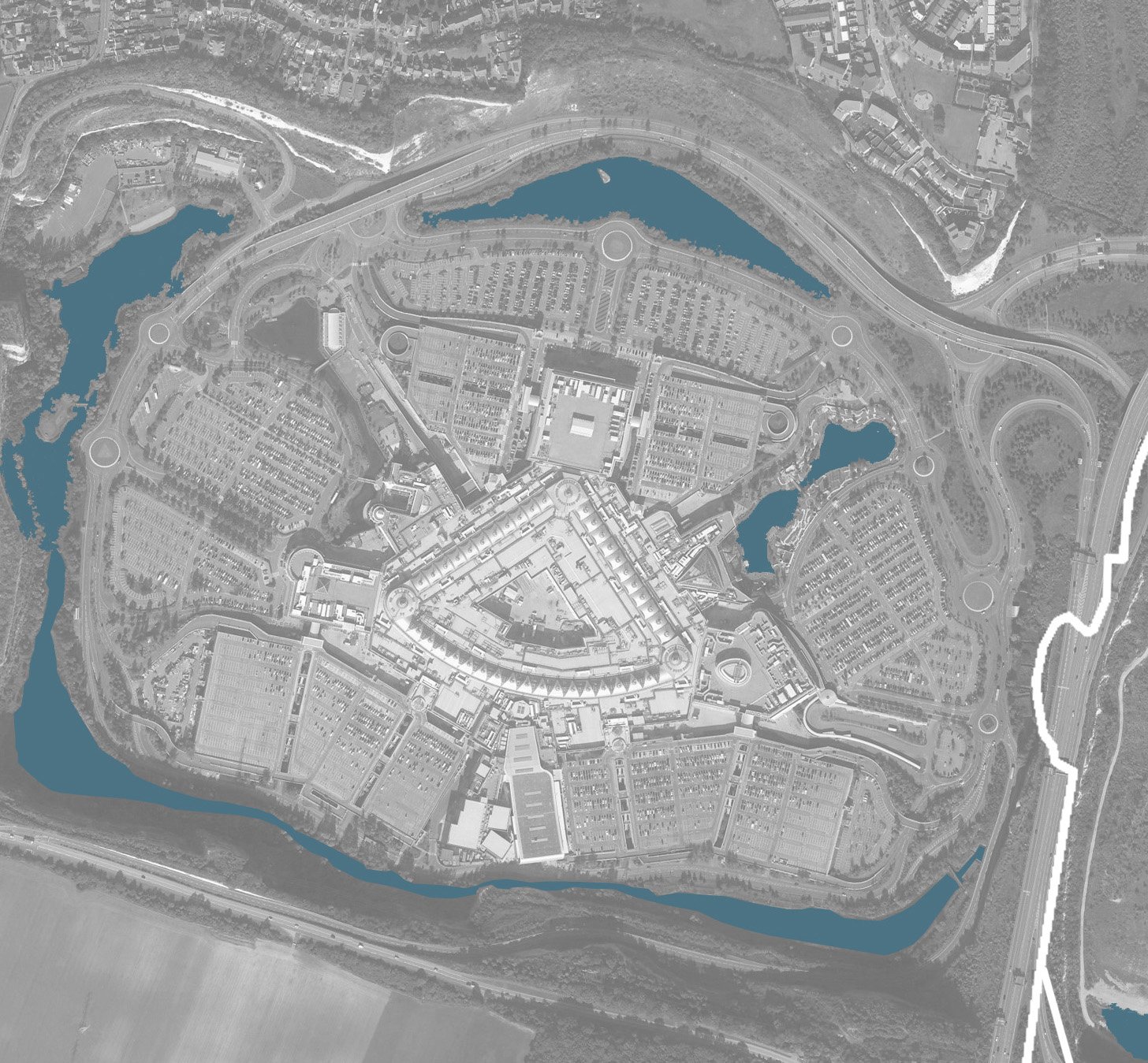
Bluewater is an example of a contemporary defined settlement; defined and contained by water and the surrounding chalk escarpments.

The original Ingress Park, with the landscape gardens laid out down to the water of the Thames in the foreground.