
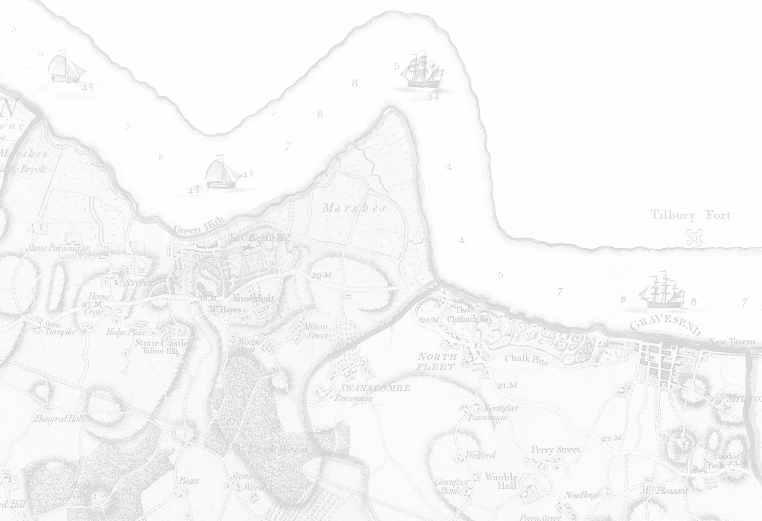
Learning from Local Villages
Villages and settlements have traditionally evolved at the boundary between the marshes of the Thames estuary, and the chalk spine of the North Kent Downs. Understanding the characteristics of these settlements can provide some principles for developing streets and building forms for similar landscapes within Ebbsfleet.
Click on a local village to find out more >
Cliffe Village
Cliffe is a nearby village on the Hoo Peninsula and provides a historic example of a settlement upon a low chalk escarpment rising up from the North Kent Marshes, similar to those found across the Garden City.
Prior to the silting of the Thames marshes, Cliffe supported a port on Cliffe Creek. As at Northfleet, there is a local cement works on the marshes, as can be seen on the aerial image below.

Source: Bing Maps
The study of the morphology of Cliffe reveals that the high street follows the topography across the contours from the crest of the hill to the marshland edge, with secondary streets running in alignment with the general contours and the chalk escarpment.
A number of specific buildings have been identified as being of interest in terms of form and materiality. There are also a number of historic farmsteads, located in the proximity of Cliffe, as can be seen highlighted on the map (below). During the 14th Century Cliffe was the site of a farm owned by the monks of Christ’s Church, Canterbury.
A row of unnamed children’s graves in the churchyard inspired Charles Dickens to use it as the setting for the beginning of Great Expectations (1860–61), where Magwitch emerges from the marsh and startles Pip ‘among the graves by the side of the church porch’.

© Crown copyright and Landmark Information Group Limited 2018. All rights reserved.


The twin gable configuration

Ad hoc’ window arrangement and horizontal boarding above black plinth

Long houses with characteristic plinth high-lighting the subtleties of topograph

Gable with jettied frontage - a porch and a semi-private space

Juxtaposition of form at a step in level / highlighted window surrounds and black plinths

Coloured plinth. Red brick contrasted with big white mullioned and transommed windows
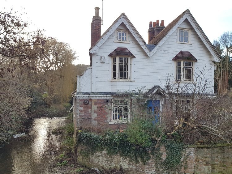
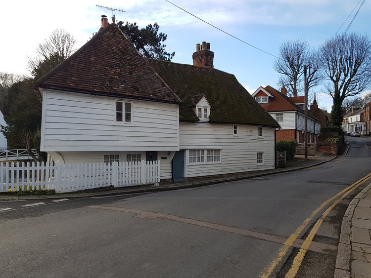
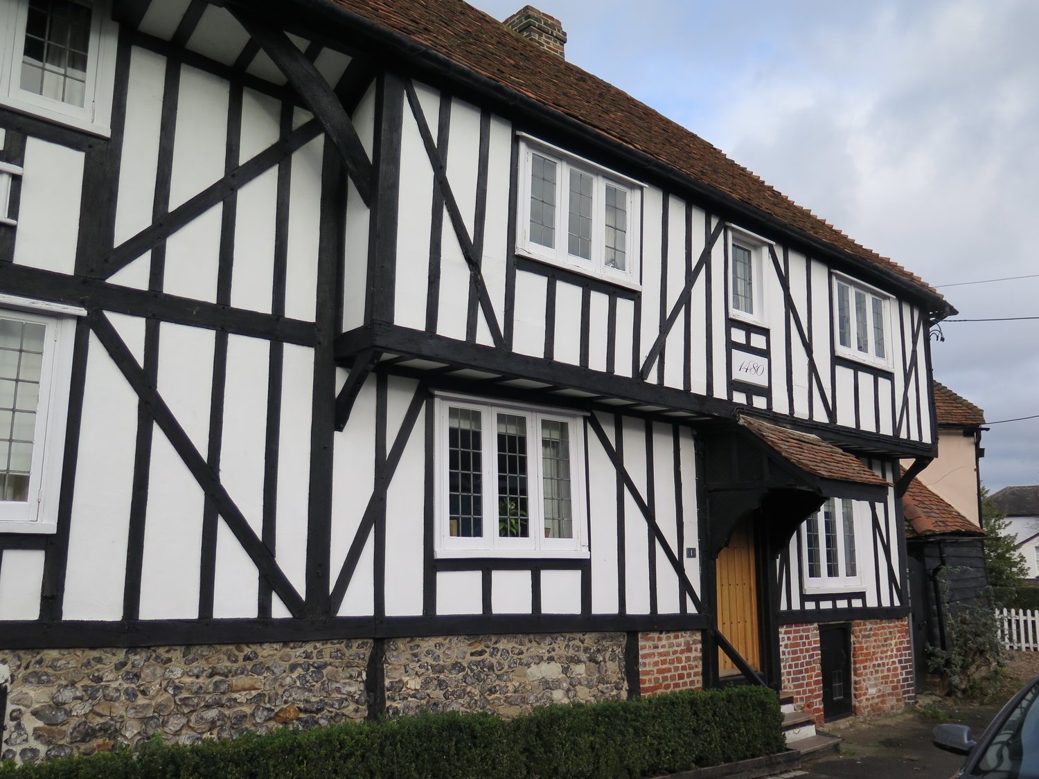
Farningham
Farningham, like Cliffe, is situated on chalk beds, with the River Darent running through the village, providing an insight into how the River Ebbsfleet may have once appeared.
‘Chalk and flint and clay tell the story of the houses, church and mill. The look of the place is determined by the soil...’ Farningham and its Mill, Hilary Harding.
The layout of the High Street / London Road, runs perpendicular to the contours and buildings are aligned perpendicular to the street creating long thin terraces and linear yards. In addition, the historic centre is an example of a low rise and high density housing settlement.


Plinth walls and stepping roof levels in response to the topography
Twin gables - white boarding above warm red brick
Balance of dark roof form and light simplified facade

Bay window looking down the High Street

Riverside court with feature gable house at the end creates a surprise opening out, off High Street where the river crosses the High Street

Springfield and Summerfield, Horton Way - a 20th Century example of horizontal white painted boarding

Twin gables are a common feature for housing throughout Kent, and provide a defining point in the streetscape here

Gable ends form a rhythm along the road frontage

Yards and houses are in perpendicular alignment to the High Street
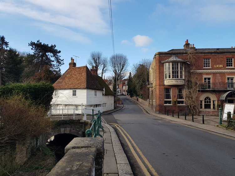
Bay window looking down the High Street

Yards and houses set back from the High Street

Gable entrance / flint feature panel

Plinth accommodating changes in topography & warm red patterned brick

Twin gables and rooms in the roof

The twin gable motif creates a townscape marker and also provides rooms in the roof

Juxtaposition of warm red brick / flint wall and white boarding, bay feature

Continuous bay window feature - a townscape marker within the village

Juxtaposition of bay and dormer windows
Southfleet
Southfleet takes its name from the River Fleet, a minor tributary of the River Thames, which was subsequently renamed the River Ebbsfleet in recent times. The banks of the Fleet also happens to be where watercress was first commercially grown in the UK, just down from Southfleet at Sprignhead. The river flows on from Springhead into Robins Creek at Northfleet, where it once joined the Thames.
The original historic village is grouped around a crossroads. The distinctive Kentish red brick with patchwork of blue headers and typical brick and ragstone plinths, are combined with a palette of horizontal black boarding and earlier half-timbering.

Southfleet 1860s
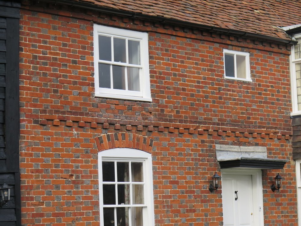
Warm red roof and patterned brick facade with band of projecting bricks and broad framed windows as contrast to background brickwork

Plinth house - with contrasting geometric pattern in the timber detailing

Black boarding juxtaposed with red brick

Plinth house with warm red brick gable end
Plinth house